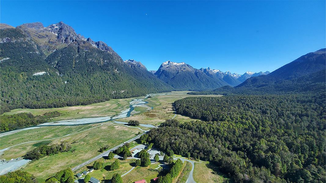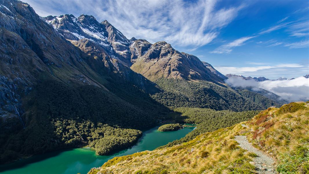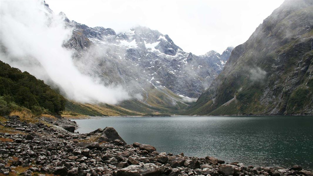
- 1DOC lists Mirror Lakes (10 minutes), The Chasm (20 minutes) and the Milford Foreshore Walk as wheelchair accessible walks on or at the end of the Milford Road.
- 2Lake Mistletoe (45 minutes), the Lake Gunn Nature Walk (a flat 45 minute loop), Lake Marian Falls (20 minutes) and the Milford Sound Lookout (20 minutes) are short and easy; Key Summit is 3 hours return from The Divide.
- 3Lake Marian is an advanced tramping track; the East Eglinton and Gertrude Saddle are expert routes. DOC's rule for Gertrude Saddle: if there is rain or snow, don't go.
- 4DOC says the Bowen Falls Walk is permanently closed, and its saved Chasm page describes repair work on a timetable that has passed: check The Chasm's current state with DOC.
- 5Two road distances differ between DOC pages, Te Anau Downs and Cascade Creek, so we give both with their page.
01 / Start with the short answer
Which walks can I do on the drive to Milford Sound?
Eleven open DOC walks and routes, from 10 minutes return at Mirror Lakes to the expert routes up the East Eglinton and Gertrude Saddle, two of them at Milford Sound itself. The Bowen Falls Walk is closed.
The Milford Road has walks for every level, and the ones in this guide are DOC's, with DOC's times and grades. Three are wheelchair accessible: Mirror Lakes, The Chasm and the Milford Foreshore Walk at the end of the road. Lake Mistletoe, Lake Gunn, Lake Marian Falls and the Milford Sound Lookout are short and easy to intermediate. Key Summit and Lake Marian are tramping tracks that need fitness and the right gear, and the East Eglinton and Gertrude Saddle are expert routes for people with backcountry and alpine skills. Distances are DOC's, measured from Te Anau, so you can plan your stops in road order; where two DOC pages give different distances for the same place, we show both. DOC says there are no fuel stations or shops between Te Anau and Milford Sound, and mobile coverage is patchy on the road. Check the NZTA road status before you set out, as Visit Fiordland advises.
02 / In road order
How long is each walk, in road order?
From 10 minutes return at Mirror Lakes to 4 to 6 hours return on Gertrude Saddle, per DOC.
| Walk and where | Length and time, from DOC | Grade, from DOC |
|---|---|---|
| Lake Mistletoe, opposite the hotel complex at Te Anau Downs: 27 kilometres (30 minutes drive) from Te Anau on DOC's Mistletoe page; DOC's kayaking page puts Te Anau Downs 30 km north of Te Anau | 1.3 kilometres return by the same track, 45 minutes | Easy to intermediate |
| East Eglinton, about 55 kilometres north of Te Anau, at the East Branch sign near the road bridge | To the river forks in about 2 hours | Expert route |
| Mirror Lakes, about 56 kilometres from Te Anau | 400 metres return, 10 minutes | Short walk, wheelchair accessible |
| Lake Gunn Nature Walk, from Cascade Creek: about 78 kilometres from Te Anau on DOC's walk page, 71 km on its campsite page | 1.4 kilometre flat loop, 45 minutes | Suitable for all fitnesses |
| Key Summit, from The Divide, about 85 kilometres from Te Anau | 3.4 kilometres one way, 3 hours return | Intermediate tramping track |
| Lake Marian Falls, Lake Marian car park, 1 kilometre down the Hollyford Road | 720 metres return, 20 minutes | Easy to intermediate |
| Lake Marian Track, an alpine lake in a hanging valley | 3.1 kilometres one way, 1 hour 30 minutes one way | Advanced tramping track |
| Gertrude Saddle, Gertrude Valley car park, about 98 kilometres from Te Anau | 7 kilometres return by the same track, 4 to 6 hours | Expert route |
| The Chasm, about 109 kilometres from Te Anau | 400 metres return, 20 minutes | Wheelchair accessible |
| Milford Foreshore Walk, main visitor car park at Milford Sound | 400 metre loop | Easy, wheelchair accessible |
| Milford Sound Lookout, from the car park behind the café | 400 metres return, 20 minutes | Easy to intermediate, with steps |
| Bowen Falls Walk | Permanently closed | No boat service for access |
03 / Each walk
What will I see on each short walk?
Wetland birds, reflections, beech forest birds, alpine views, waterfalls, a carved river channel and Mitre Peak.
Lake Mistletoe
Mirror Lakes
Lake Gunn
Key Summit
Lake Marian Falls
Lake Marian
The Chasm
Milford Foreshore
Milford Sound Lookout
04 / Key Summit
Why do Key Summit times differ?
Because DOC times it from two different start points.
DOC's Key Summit page lists the walk as 3.4 kilometres one way and 3 hours return, starting from The Divide. DOC's Routeburn Track page describes Key Summit as a side trip and times it from the Key Summit turn-off on the Routeburn Track, not from The Divide, so its figure is shorter. If you are driving the Milford Road and walking from the car, plan on the time from The Divide. DOC says The Divide, at 532 metres, is the lowest crossing of the Southern Alps in New Zealand. The Routeburn Track lies in both Mount Aspiring and Fiordland national parks, and DOC says there is no cellphone coverage on it.
Rather walk it with a guide?
This guided day hike starts in Te Anau and, by its own listing, drives the Milford Road to The Divide and walks the Routeburn Track to Key Summit.
05 / Expert routes
Should I try the East Eglinton or Gertrude Saddle?
Only with backcountry skills. DOC grades both as expert routes, and Gertrude Saddle is not for rain, snow or winter.
Both start from the Milford Road, and both are graded by DOC as expert routes, its hardest grade in this guide.
- East Eglinton.
DOC says the route needs above average fitness, high level backcountry skills including navigation and survival, and river crossing skills. It reaches the river forks, where the East Branch meets Annear Creek, after about 2 hours.
- Gertrude Saddle needs alpine experience.
DOC says it needs tramping and alpine experience and is not recommended in winter because of avalanche danger.
- Steep slabs.
The route climbs steep rock slabs that DOC says are treacherous when wet or frosty, with steel cables to assist.
- No markers on top.
DOC says there are no permanent markers above the bushline, so alpine and navigation skills are essential.
- If there is rain or snow, don't go.
That is DOC's own rule for Gertrude Saddle. On a clear day DOC says it gives views of the valley and part of Milford Sound/Piopiotahi.
06 / From the road
What changes along the road?
Red beech and grasslands in the Eglinton Valley, stunted silver beech beyond Lake Gunn, then an ice-carved cirque before the Homer Tunnel.
DOC says that as the Milford Road enters the Eglinton Valley, red beech becomes the dominant tree, among important remnants of native grasslands and wetlands. Beyond Lake Gunn the silver beech trees are stunted by the harsh climate, and just before the Homer Tunnel the road enters a cirque basin, a steep walled amphitheatre carved by ice. DOC says a predator plague in the Eglinton Valley in 1999 to 2001 cut bird numbers dramatically; since then intensive pest control and a 2010 transfer of birds from Chalky Island have helped mohua increase. Kea are often seen around the Homer Tunnel, so watch your belongings, and on the East Homer Nature Walk you may hear or glimpse a rare rock wren among the large boulders. Native long-tailed bats are active around dusk and dawn near streams and forest edges along the road.
07 / Plan your stops
How do I fit the walks into the day?
Fuel and pack in Te Anau, check the road, pick your walks by time, and keep moving through the no-stopping zone.
- 01Fuel and pack in Te Anau.
DOC says there are no fuel stations or shops between Te Anau and Milford Sound, and advises packing extra food, water, warm clothes, sunscreen and insect repellent.
- 02Check the road.
Visit Fiordland says check the NZTA road status before you set out.
- 03Choose walks by the time you have.
The short walks take 10 to 45 minutes each, by DOC's times. Key Summit takes 3 hours return, Lake Marian 1 hour 30 minutes each way and Gertrude Saddle 4 to 6 hours return.
- 04Turn off for Lake Marian Falls.
DOC says the Hollyford Road leaves the Milford Road at Marian Corner, about 87 kilometres from Te Anau, and the Lake Marian car park is 1 kilometre down the unsealed road.
- 05Do not stop between the Hollyford Road and The Chasm.
DOC says the road between the Hollyford Road junction and The Chasm is a restricted no-stopping zone because of avalanche risk.
- 06Leave the kea alone.
DOC says kea and other wildlife must not be fed, because human food can harm them and change their behaviour.
- 07Finish at Milford Sound.
The Foreshore Walk and the Lookout start from the car parks at Milford Sound. DOC says the Bowen Falls Walk is permanently closed, because there is no boat service for access.