- 1DOC gives Fiordland National Park three sizes on three pages: 1,260,740 hectares on its getting there page, 1.3 million hectares on its avalanche page and over 1.2 million hectares on its park page. We show all three.
- 2DOC says Te Wāhipounamu, the South West New Zealand World Heritage Area, covers 2.6 million hectares and takes in four national parks, Fiordland among them. Keep that figure apart from the park's own.
- 3DOC names Te Anau as the largest town for the park, followed by Manapouri and Milford Sound, and the visitor centre, Te Rua-o-te-moko, is on Lakefront Drive in Te Anau.
- 4DOC's park rules: no open fires (fires only in designated fireplaces where DOC provides them), no drone without a permit, no pets, and check, clean and dry your gear between waterways. Expect no cell phone coverage in most of the park.
01 / Start with the park
What is Fiordland National Park?
A national park in the south-western corner of New Zealand, established in 1952, of ice-carved fiords, lakes and valleys.
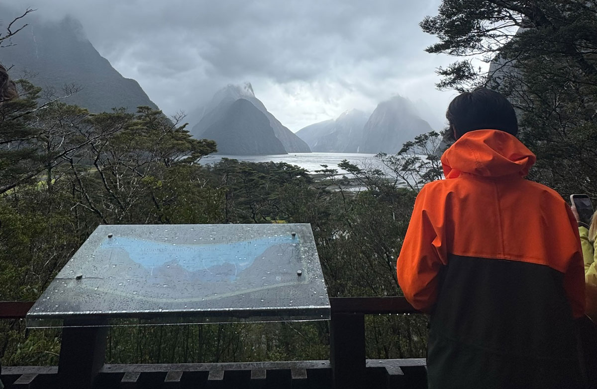
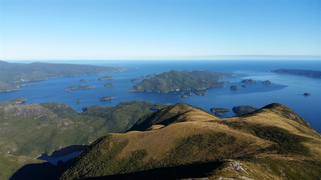
DOC says Fiordland National Park is in the south-western corner of New Zealand, was established in 1952 and has ice-carved fiords, lakes and valleys, rugged granite tops and mountain to sea views. DOC says glaciers have at times covered the area over the last 2 million years, carving U-shaped valleys that are now lakes or fiords. Fourteen fiords, some stretching up to 40 kilometres inland, run from Milford Sound / Piopiotahi in the north to Preservation Inlet in the south, and DOC places Milford Sound in the northwest of the park. Hundreds of lakes dot the park, among them Lake Hauroko, which DOC gives as the deepest in New Zealand at 462 metres. DOC says Captain Cook and his crew were the first Europeans to visit Fiordland, in Tamatea/Dusky Sound in 1773. How long they stayed depends on the DOC page: five weeks on its park, history and Astronomer's Point pages, six weeks on its southern fiords page. How big the park is depends on which DOC page you read, and the next section shows each figure with its page.
02 / In figures
How big is Fiordland National Park, by source?
DOC gives 1,260,740 hectares on one page, 1.3 million on another and over 1.2 million on a third.
| Feature | Figure | Source |
|---|---|---|
| Park size | 1,260,740 hectares | DOC getting there page |
| Park size | 1.3 million hectares of remote mountainous terrain | DOC avalanche page |
| Park size | Over 1.2 million hectares | DOC park page |
| Established | 1952 | DOC visitor centre page |
| Te Wāhipounamu World Heritage Area | 2.6 million hectares, almost 10% of New Zealand's land area, across four national parks | DOC World Heritage page |
| Fiords | Fourteen, some up to 40 kilometres inland | DOC park page |
| Deepest lake | Lake Hauroko, 462 metres, the deepest in New Zealand | DOC park page |
03 / World Heritage
Is Fiordland a World Heritage Area?
Yes. DOC says it is part of Te Wāhipounamu, which covers 2.6 million hectares across four national parks.
DOC says Te Wāhipounamu, the South West New Zealand World Heritage Area, covers 2.6 million hectares, almost 10% of New Zealand's land area, and takes in four national parks: Westland Tai Poutini, Aoraki/Mount Cook, Mount Aspiring and Fiordland. That is the World Heritage Area's figure, not the park's, so do not add the two together or swap one for the other. DOC's park page says Fiordland National Park was declared a World Heritage Area in 1986; DOC's World Heritage page gives no year, so 1986 is the only year we give. DOC says the area holds rocks, plants and animals going back 80 million years to Gondwana, and ice-carved fiords, lakes and valleys among the finest glaciated landforms in the Southern Hemisphere. Three endemic kiwi taxa live in it: rowi, Haast tokoeka and Fiordland tokoeka.
04 / Getting there
How do I get into the park?
By road through Te Anau or Manapouri, by air to one of three airports, or on foot.
- 01Head for Te Anau or Manapouri.
DOC says road access is via Te Anau, Lake Manapouri and the Southern Scenic Route, and that Te Anau is the largest town for the park, followed by Manapouri and Milford Sound.
- 02Allow the drive to Te Anau.
DOC gives 179 kilometres and 2 hours 20 minutes from Queenstown by SH6 and SH94, and 150 kilometres and 2 hours from Invercargill by SH1 and SH94, with regular bus services from both.
- 03Go on to Milford Sound by the one road.
Visit Fiordland says State Highway 94 is the only road access to Milford Sound. DOC's Te Anau area and Milford area pages allow about 2 hours from Te Anau; DOC's journey tips give about 2.5 hours, without stops. Operators differ: about 3 hours (RealNZ), 2.5 hours (Pure Milford), about two hours (Southern Discoveries). From Queenstown the sources give about 4 to 6 hours one way, and RealNZ's own pages differ; the day trip guide sets every figure side by side. Check the NZTA road status before you set out, as Visit Fiordland advises.
- 04Or fly.
DOC says there are airports in Te Anau, Manapouri and Milford Sound, with some commercial flights and private aviation services.
- 05Or walk in.
DOC says you can walk into the park from Te Anau or Manapouri, or from the Queenstown area via the Routeburn Track.
- 06For Doubtful Sound, start at Manapouri.
DOC says Lake Manapouri is 21 kilometres and about 20 minutes drive from Te Anau, and Doubtful Sound is reached from the Manapouri township via West Arm and Wilmot Pass.
05 / The gateways
What is at Te Anau and Manapouri?
The park's visitor centre and the starts of three Great Walks at Te Anau; the boat to Doubtful Sound at Manapouri.
DOC calls Te Anau the closest town with facilities to the park and the start of the Kepler, Routeburn and Milford Track Great Walks. The Fiordland National Park Visitor Centre, Te Rua-o-te-moko, is on Lakefront Drive in Te Anau; DOC says it has Great Walks and backcountry track information, tickets and maps, track conditions and weather forecasts, and hunting permits. It is the place to ask about anything this guide cannot give you, such as current track conditions. DOC's Kepler Track page calls Lake Te Anau the largest body of fresh water in Australasia. At Manapouri, DOC warns that the lake can quickly become rough and choppy, particularly in the afternoons, and that watercraft are prohibited from entering its tributary rivers because of didymo.
06 / Park rules
What are the rules in Fiordland National Park?
No open fires outside DOC's designated places, no drone without a permit, no pets, no feeding wildlife, and clean your gear between waterways.
Each rule is DOC's. Breaking some of them is an offence.
- No open fires.
DOC's Fiordland safety page says no open fires are permitted in the park, to reduce the risk of wildfires. The same page says to put ashes from hut fireplaces in the metal drums and, at campsites, to use only the designated areas. DOC's Cascade Creek Campsite page allows fires there only in designated fire places and only when there is no fire ban. Read together, fires belong only where DOC provides a place for them; check the rules and any fire ban before you light.
- No drone without a permit.
DOC says flying a drone without a permit is strictly prohibited in the park. Drones are aircraft, all aircraft on conservation land need a permit, and recreational, commercial and research use each have their own permit.
- No pets.
DOC says no pets are allowed on conservation land, including national parks, even on a lead or in a carrier. Having a pet in your vehicle, even briefly in a car park, is an offence unless DOC grants an exception, and can lead to a fine or prosecution and the pet being seized. Certified disability assist dogs are allowed while assisting.
- Do not feed wildlife.
DOC says kea and other wildlife must not be fed, because human food can harm them and change their behaviour.
- Check, clean, dry.
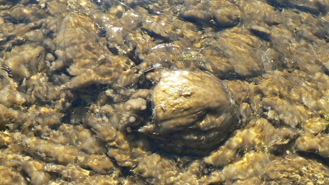
DOC asks you to check, clean and dry all gear when moving between waterways, to stop the spread of didymo and other freshwater pests.
Fishing or taking a boat on the lakes?
Our fishing, hunting and freshwater pests guide explains DOC's Check, Clean, Dry, the Clean Gear Certificate and the waters with their own rules.
07 / Staying safe
How do I stay safe in the park?
Plan for no phone coverage, tell someone your plans, and treat rivers, wind and avalanche risk with respect.
From DOC's safety guidance. None of this is a forecast or a live condition.