Milford Road notices
Check before you go
No current reading here. Check the official road status before you travel.
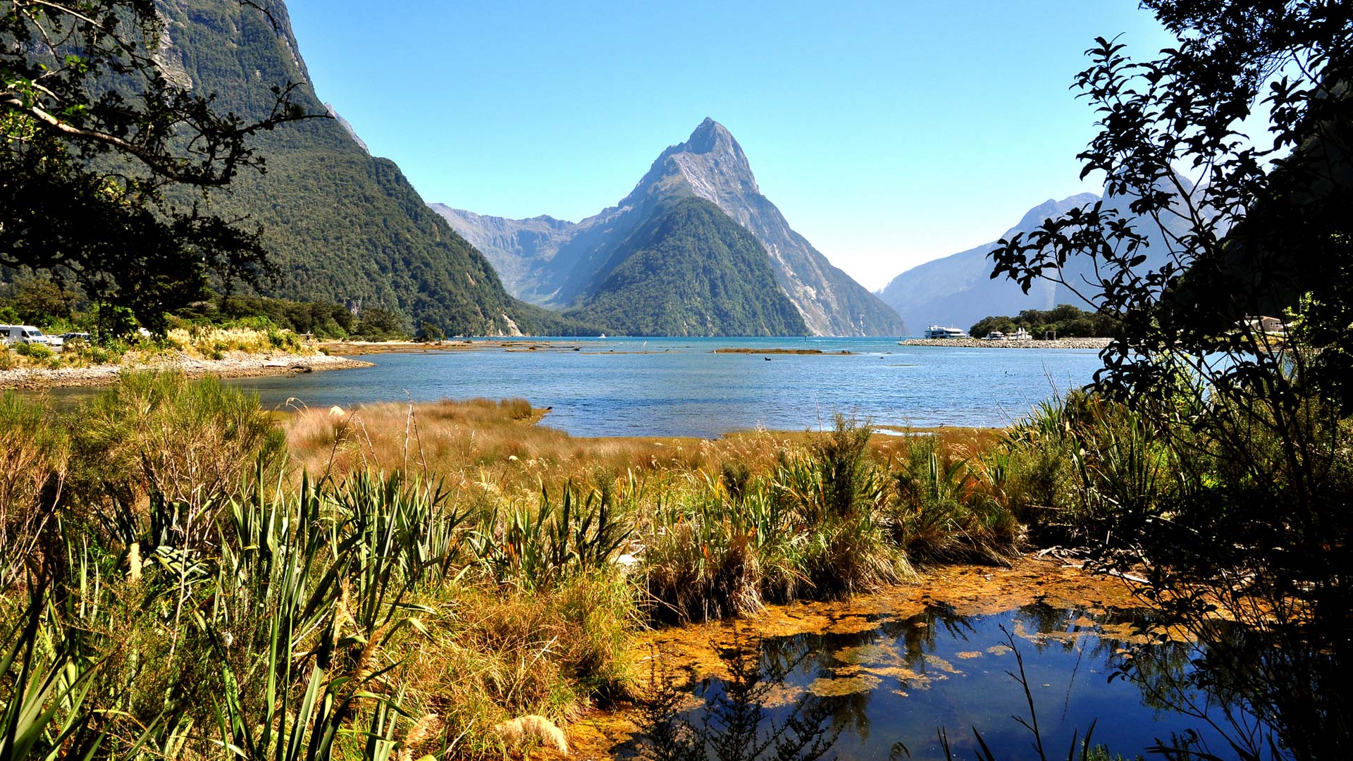
Fiordland National Park, New Zealand
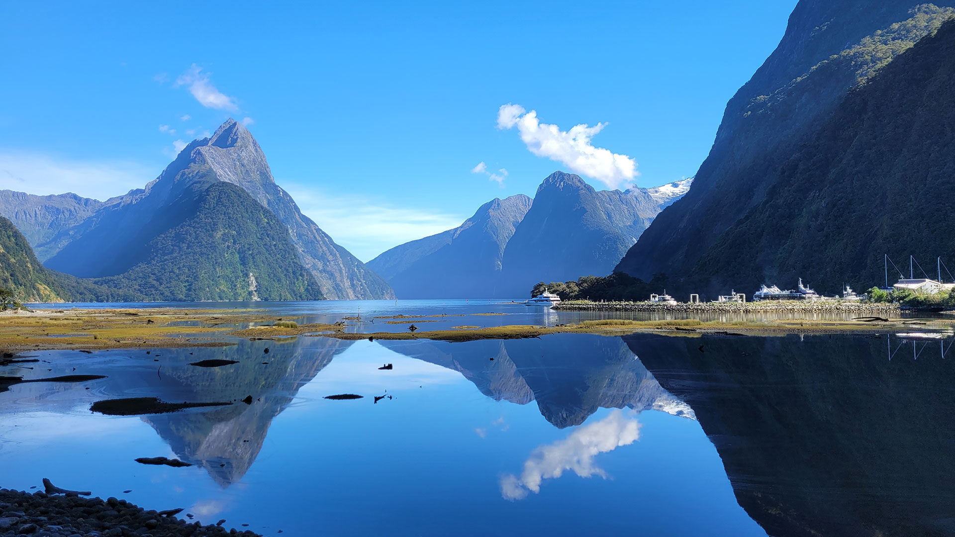
One road in, a fiord at the end of it, and weather that changes the day. Guides to the whole park, with every source named.
Every fact names its source. Live readings from NZTA, MetService, MET Norway, LINZ and GeoNet.
On the water
Tours and guides that fit this page. A price shows only after a recent check against the booking site's data.
We earn a commission when you book through these cards, at no extra cost to you.
6 featured experiences and guides
Swipe or use the arrows to explore
Plan in four steps
 Step 1Getting thereThree road routes, from Wānaka, Queenstown and Te Anau, with times and distances by source.See the routes
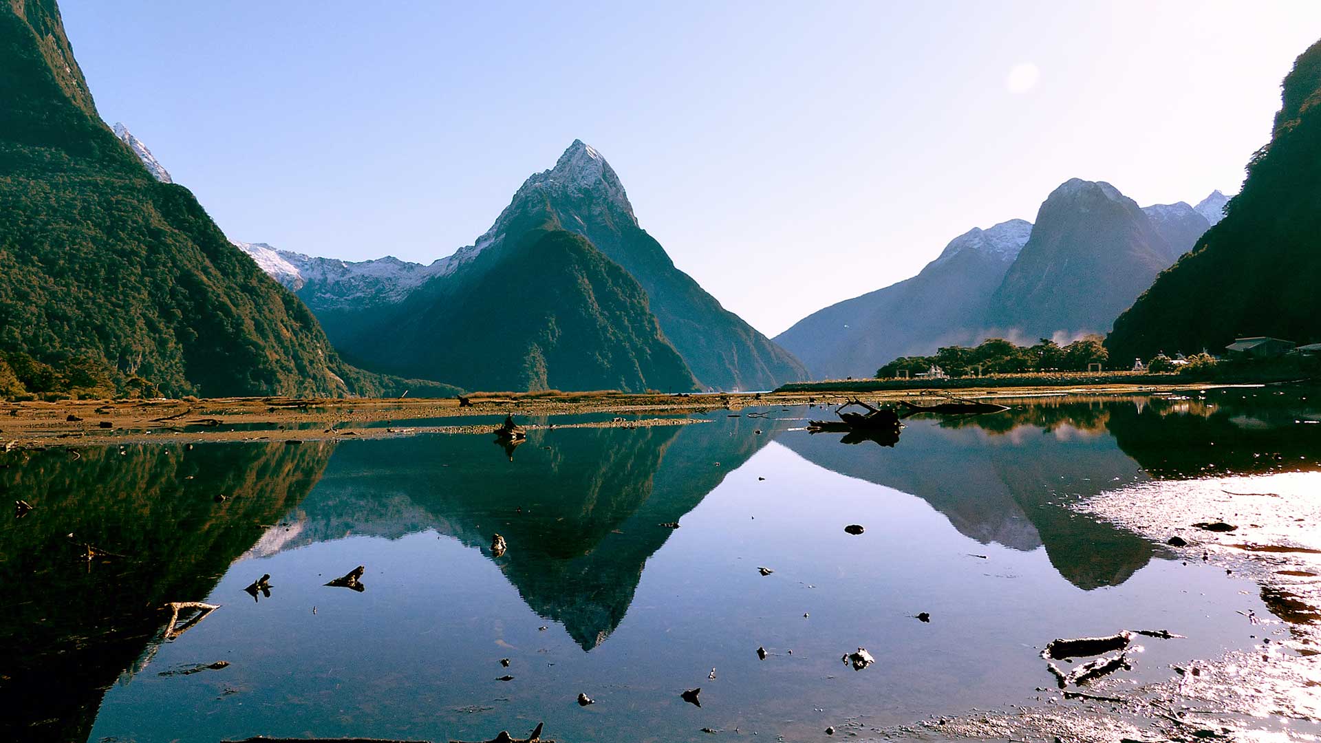 Step 2When to goSeasons, crowds and light, month by month, from DOC and the operators.See the seasons
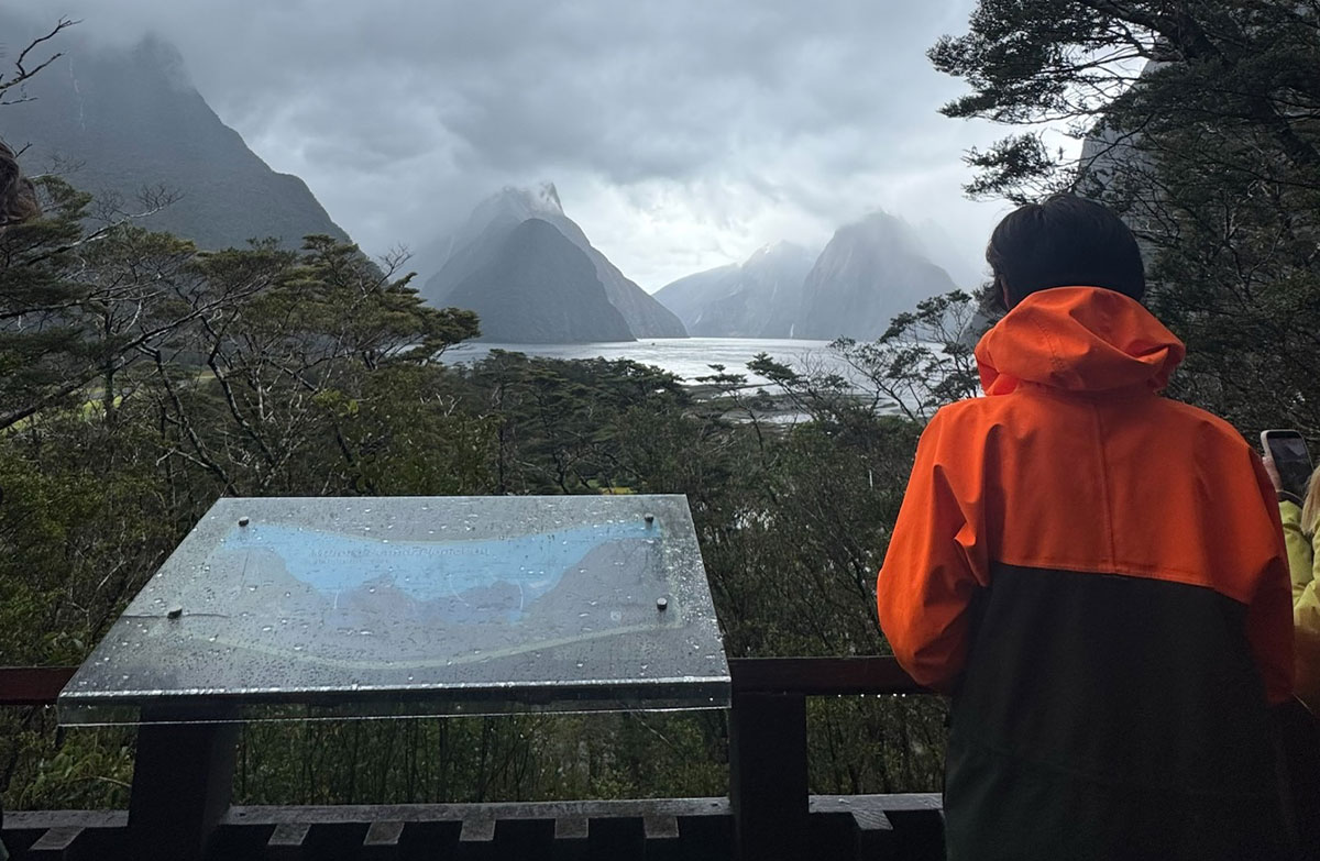 Step 3How long to allowA day trip or a night, what fits, and what to pack.Plan your day
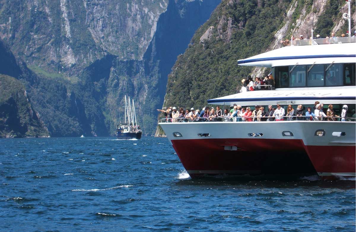 Step 4What to bookCruises compared by time on the water, boat size and a nature guide.Compare cruises
Getting there
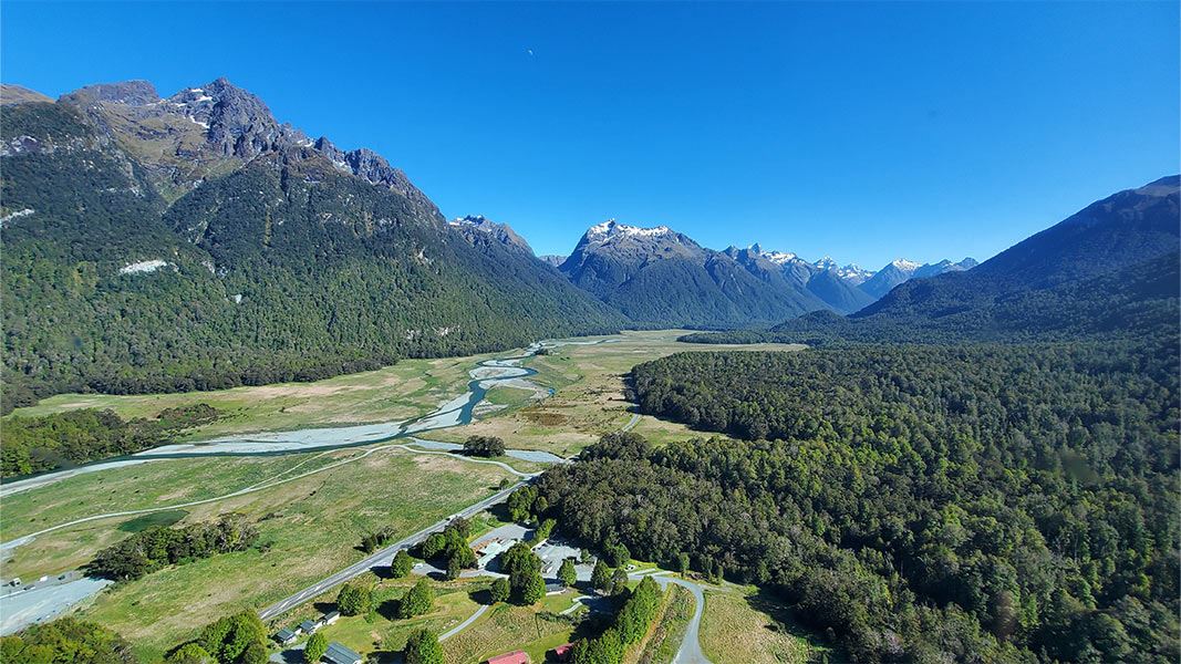
Choose where you start. The roads from Wānaka and Queenstown join the road from Te Anau, State Highway 94, which Visit Fiordland calls the only road access to Milford Sound.
Wānaka to Milford Sound / Piopiotahi, by source
Queenstown to Milford Sound / Piopiotahi, by source
Te Anau to Milford Sound / Piopiotahi, by source
Times and distances differ by source and by how often you stop. Southern Discoveries does not name its road from Wānaka; the map draws the state highway route through Cromwell. Check the road status before you set out.
The road in
Start
Fuel, advice and a road check before you go.
About 56 km
400 metres return, 10 minutes. Wheelchair accessible.
78 km on DOC's walk page, 71 km on its campsite page
A flat 1.4 km nature walk, 45 minutes.
About 85 km
Key Summit starts here, 3 hours return.
Beyond The Divide
Expect signals and delays. Kea are often seen here, so watch your belongings.
About 109 km
400 metres return, 20 minutes. Wheelchair accessible.
118, 119 or 120 km, by source
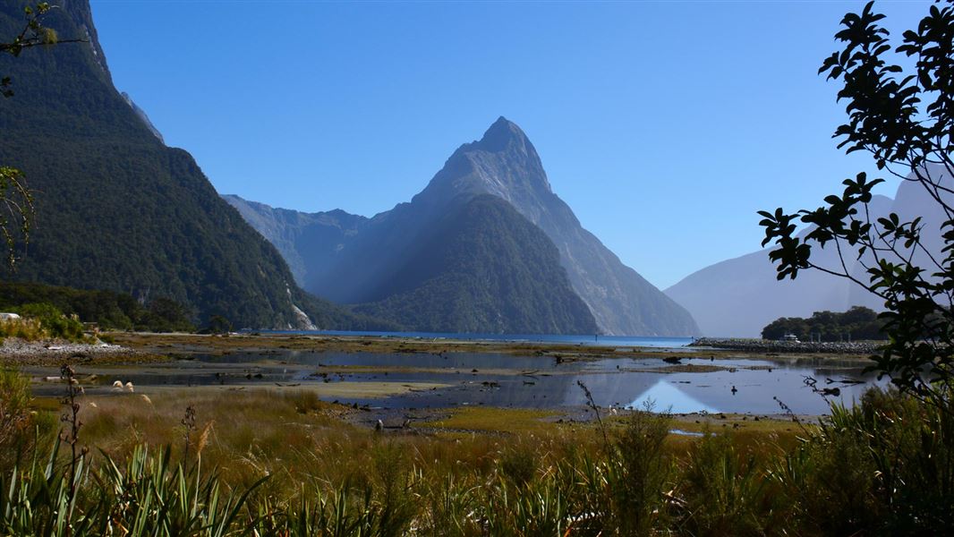
The road ends at the fiord.
Part of the road is a no-stopping zone because of avalanche risk.
Through the year
From DOC pages. This is the usual pattern, not today's conditions.
December to February
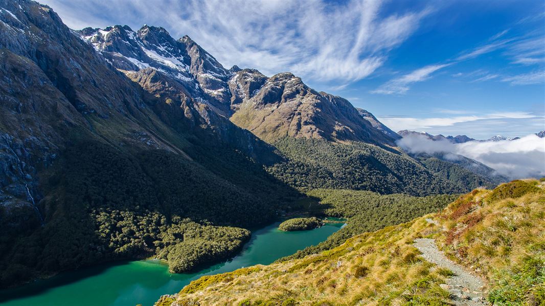
Alpine buttercups and daisies around the Homer Tunnel once the snow has cleared. Tawaki can sometimes be seen in the moult, mid-January to early March.
Great Walks season on the Milford, Routeburn and Kepler tracks.
March and April
The tawaki moult ends in early March.
The Great Walks season ends on 30 April 2027. The Milford Journey stays busy until April.
May and early June
DOC says avalanches usually occur in the park from May to November.
Outside the Great Walks season. Cold, snow, strong winds and heavy rain are more common.
June to August
The tawaki breeding season starts in July. When snow is heavy, takahē move to the forest.
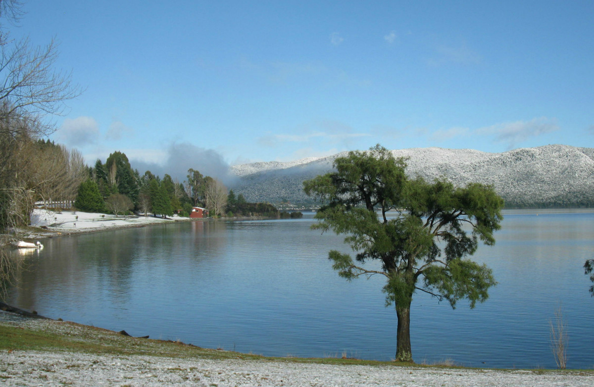
Expect closures and delays on the road from snow and avalanche. Snow chains may be required.
September to November
The tawaki breeding season runs to November. Each spring, whitebait begin their migration up the Hollyford River.
On the Milford Track, snowmelt makes rivers rise faster, with higher avalanche risk from mid-September to late October.
Beyond the fiord
Before you go
The road can close
NZTA's Milford Road FAQ (last updated September 2020) says the road is closed on average about eight days a year, mainly in winter, when weather and avalanche risk make driving unsafe. NZTA
Chains in winter
NZTA's Milford Road FAQ (last updated September 2020) says that between June and November vehicles may need to carry chains, and roadside signs say when. NZTA
The avalanche area
NZTA says the avalanche area covers 17 km, from Falls Creek above the Hollyford Road junction to the Chasm, and that avalanche control can mean no stopping inside it. NZTA
Flights depend on the weather
RealNZ says its flights operate weather permitting. If it cannot fly it reschedules, and refunds in full if you cannot reschedule. RealNZ
How we check
Every figure in a guide is tied to a fact quoted word for word from a saved page, with the date we saved it. Where sources disagree, we show both. A separate AI model checks every guide before the site's owner signs it off.
How we check factsFor other sites
A free live weather and road card for lodges, operators and travel blogs. It updates by itself and names its sources.